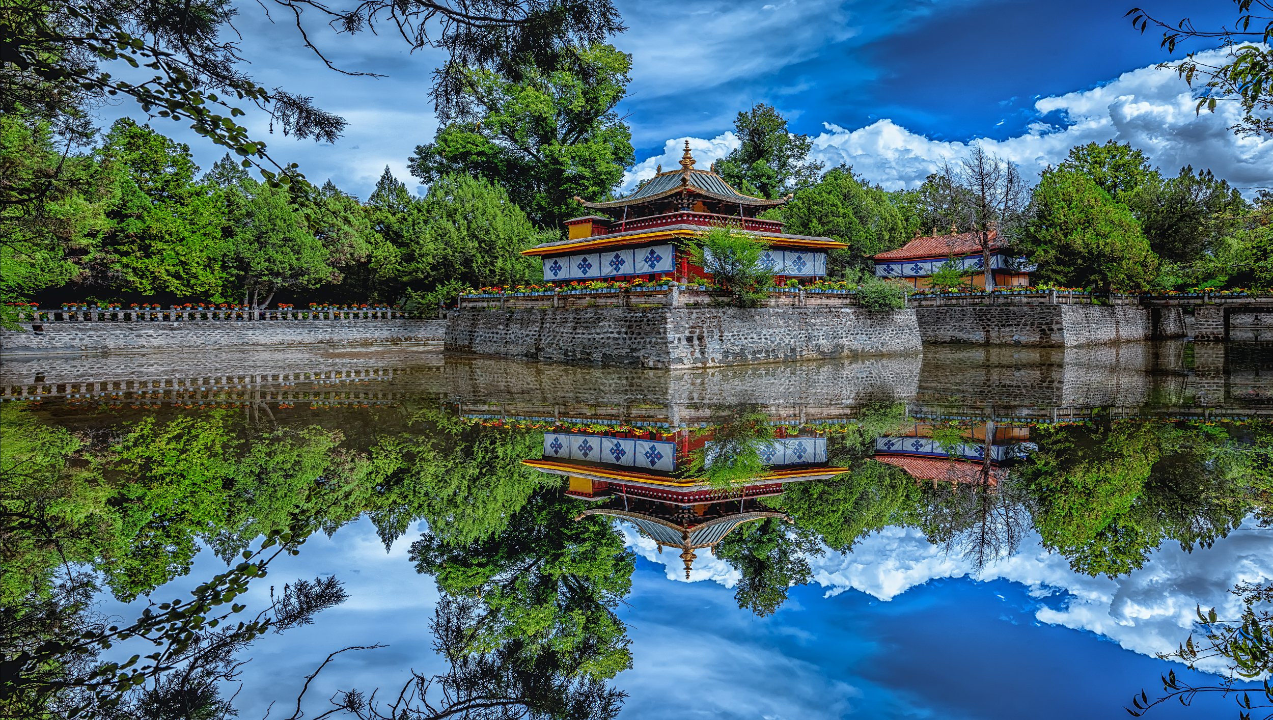
Namunani Peak is 7728 meters above sea level and is known as “Goddess Peak”. The ridge on the east is eroded into a blade ridge, forming a cliff with a height difference of nearly 2,000 meters, and the slope on the west is gentler. Namunani Peak has a large glaciers group. The glaciers surrounding the peak area are composed of three crystal clear ice tower forests, just like palaces in fairy tales.
归档: Attractions
-
nu jiang 72 guai da xia gu jing qu
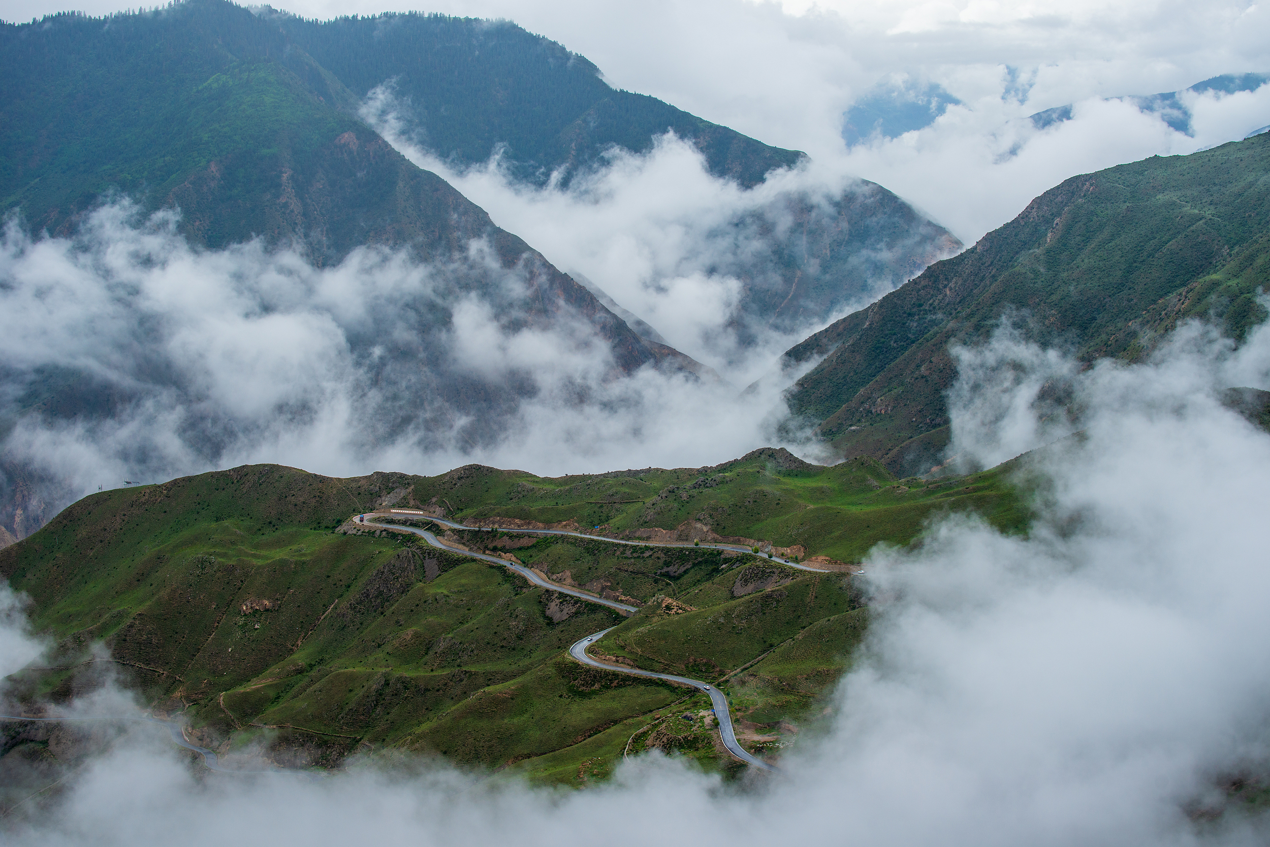
The Nujiang 72 Bends Grand Canyon Scenic Area is bordered by the winding National Highway 318 to the north and overlooks the Nujiang River flowing eastward to the south, surrounded by majestic mountains. The scenic area offers several high-altitude experience projects. The high-altitude glass observation deck is the core building, inspired by the iconic “hairpin bend” of the Nujiang 72 Bends road. Its steel truss structure cantilevered 37 meters outwards, suspended above a 130-meter drop in the canyon. Visitors can take a zipline across the river to the south bank of the Nujiang River, then descend 50 meters via a cliffside elevator, returning to the north bank via the thrilling challenge bridge and the glass suspension bridge. The scenic area also features the “Tiannu 666 Ladder,” an 80-meter climb along a wooden walkway back to the parking lot. At the entrance is the G318 Exhibition Hall, showcasing the construction history of the Sichuan-Tibet Highway and the arduous construction process of the scenic area. This is a unique destination for experiencing the high-altitude canyon scenery and feeling the spirit of the Sichuan-Tibet Highway.
-
River Confluence
The Niyang River is one of the five tributaries of the Yajiang River, also known as “Niangqu”, with a total length of more than 300 kilometers. At the confluence, the water of the Niyang River is clear and turbulent, while the water of the Yajiang River is turbid and the flow is slow. The Niyang River merges into the Yajiang River and flows upstream, forming a spectacle of reverse flow.
-
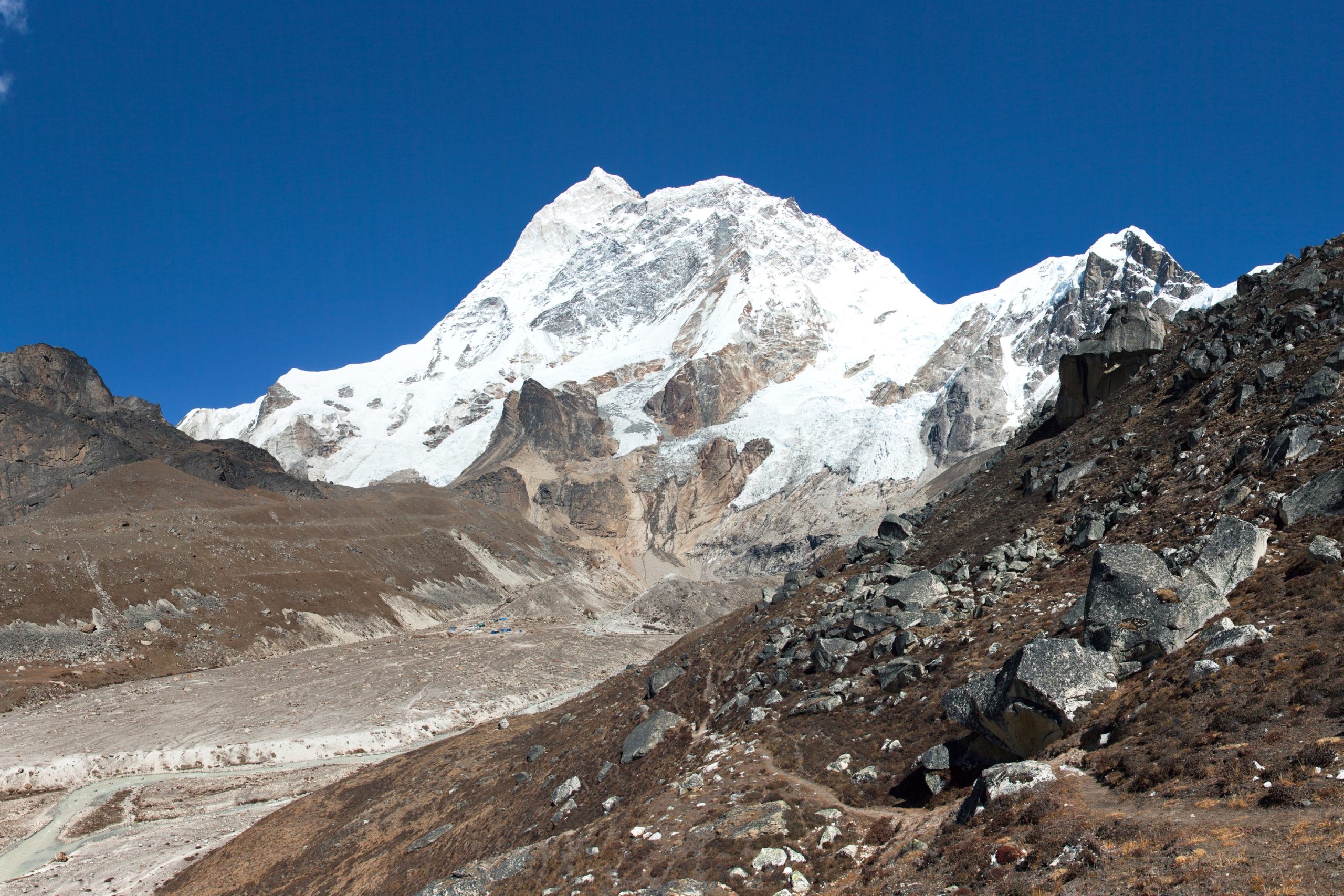
Mount Makalu
Makalu is the fifth highest peak in the world at 8,463 meters above sea level. It is located in the middle of the Himalayan Mountains, 24 kilometers southeast of Mount Everest, and is bounded by the northwest ridge and the southeast ridge. Makalu has five main ridges, namely the Northwest Ridge, Southwest Ridge, Northeast Ridge, Southeast Ridge and North Ridge. The Wei Peak on the North Ridge is called Mount Everest, with an altitude of 7816 meters. The guard peak of the northwest ridge is Makalu 2, which is 7640 meters above sea level. The Weifeng on the southeast ridge is slightly higher, with an altitude of 8010 meters. These peaks are covered with thick snow and ice, huge glaciers are distributed in the valleys, there are many sawtooth cliffs and cracks on the glaciers, and ice avalanches and avalanches are also very frequent.
-
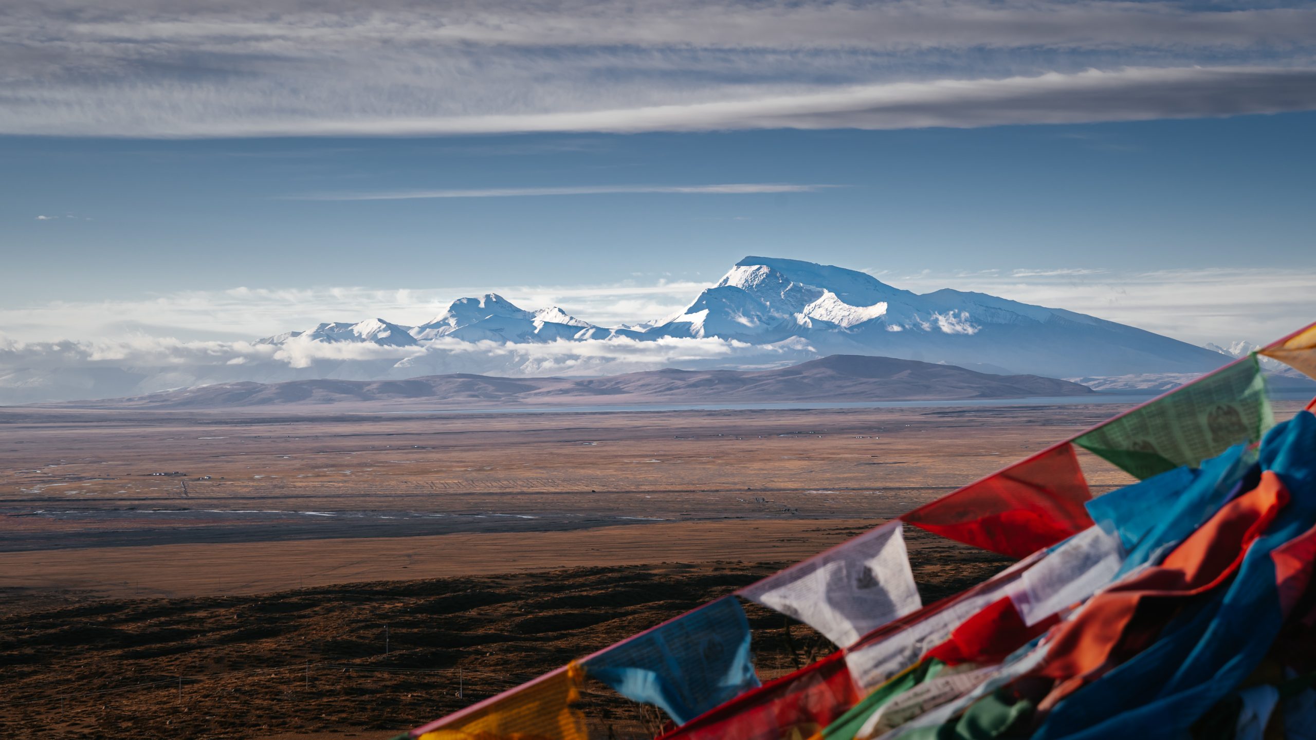
Kunggyu Co
It is located in Pulan County, Ali area, Tibet Autonomous Region, China, in the east of Pulan County, in the faulted basin between the Himalayas and Gangdise Mountains. The lake is 4786 meters above sea level and covers an area of 66.2 square kilometers. The average annual temperature in the lake area is 0-2°C, and the average annual precipitation is 200-300 mm. National Highway 219 passes through the north bank of the lake.
-
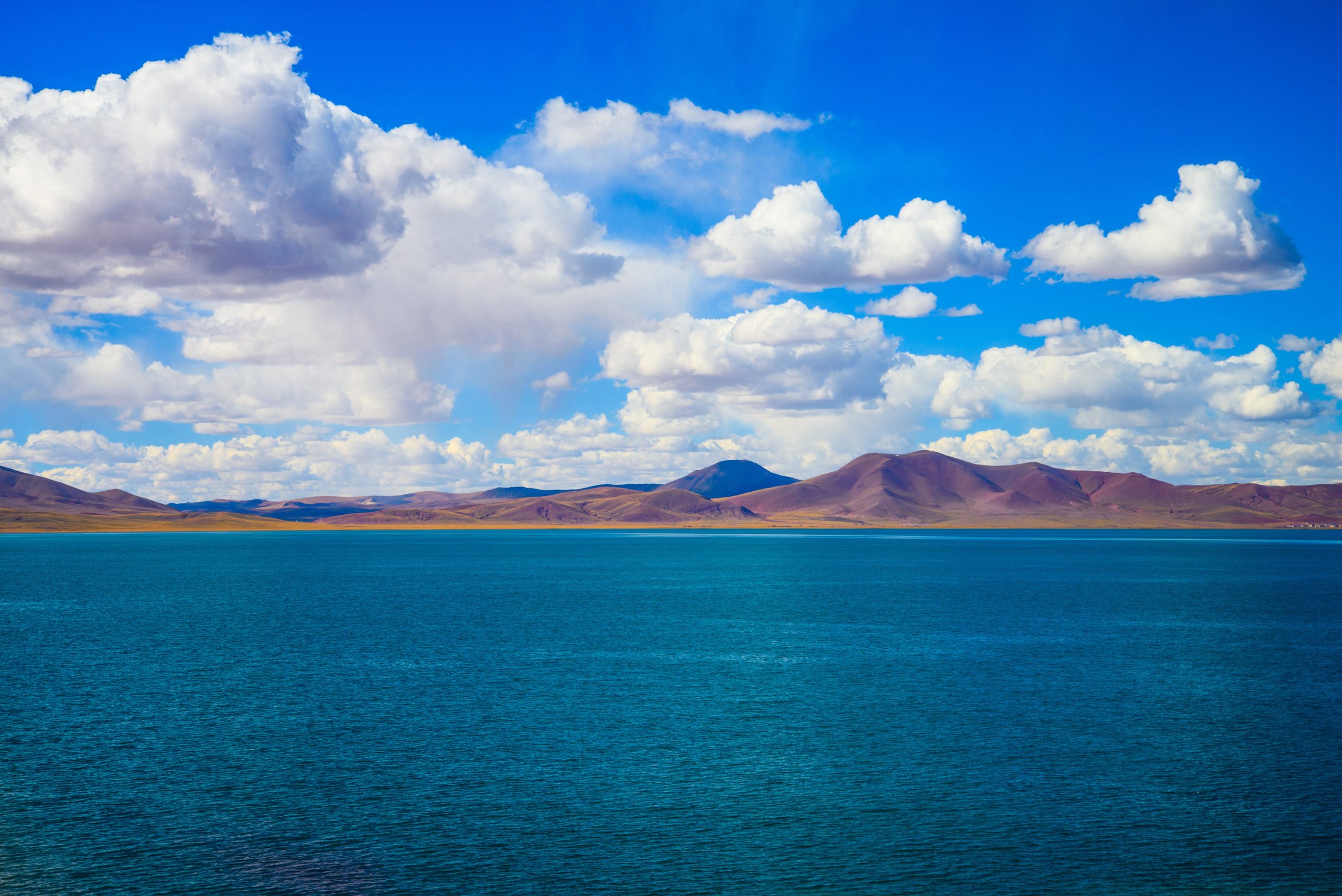
Lake Cuona
Cuona Lake is the source of the Nujiang River. The rivers and streams in the southern part of the Cuona Lake in the Tanggula Mountains all flow into the Cuona Lake and flow into the Nujiang River. Cuona Lake is 4,800 meters above sea level and covers an area of about 300 square kilometers. It is a freshwater lake. Cuona Lake is a pearl on the Qinghai-Tibet Railway. Like Nam Co, it is a lake that believers often come to worship. Legend has it that it was once the bathing place of the Queen Mother of the West. In the minds of the local Tibetan people, Cuona Lake is a “sacred lake”. Every year in the Tibetan Year of the Dragon, thousands of believers will flock to Cuona Lake to worship. It is located in the heart of the Qiangtang Nature Reserve and is the habitat of rare wild animals on the Qinghai-Tibet Plateau.
-
Galang Lake Scenic Area
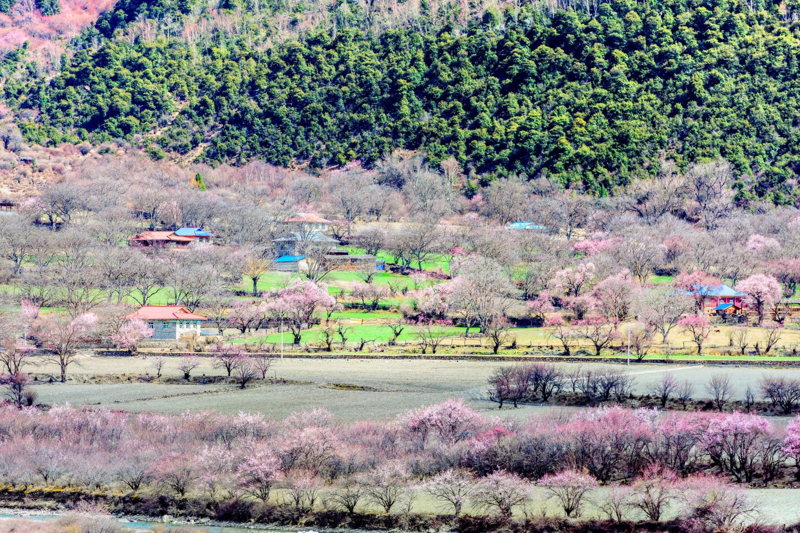
Galang Lake is located in Lang Village, Guxiang, northwest of the county seat of Bomi County, 17 kilometers away from the county seat and about 1.7 kilometers away from National Highway 318. The lake area is over 1500 square meters. The lake is surrounded by green hills, towering ancient trees, very beautiful natural scenery, unique architectural style of residents, and the Galang Dynasty ruins in the distance make Galang Lake more mysterious and magical.